

REMOTE SENSING: THE EARTH SEEN FROM SPACE
Mapping the Earth, detailing road networks and urban areas, forecasting harvests, monitoring volcanoes, forests, oceans, or ice, observing clouds: artificial satellites have revolutionized our perception of the planet. They perform measurements and observations remotely, without physical contact with the studied surface: this is what is known as remote sensing.
IMAGES, EVEN AT NIGHT
Remote sensing satellites travel a few hundred kilometers above our heads, making about fifteen orbits around the world per day. They regularly and precisely observe each region. Some simply capture natural light reflected by the ground or atmosphere. Others send their own radar waves towards the ground, recording the echoes; this system allows them to ‘see’ even at night and through clouds.
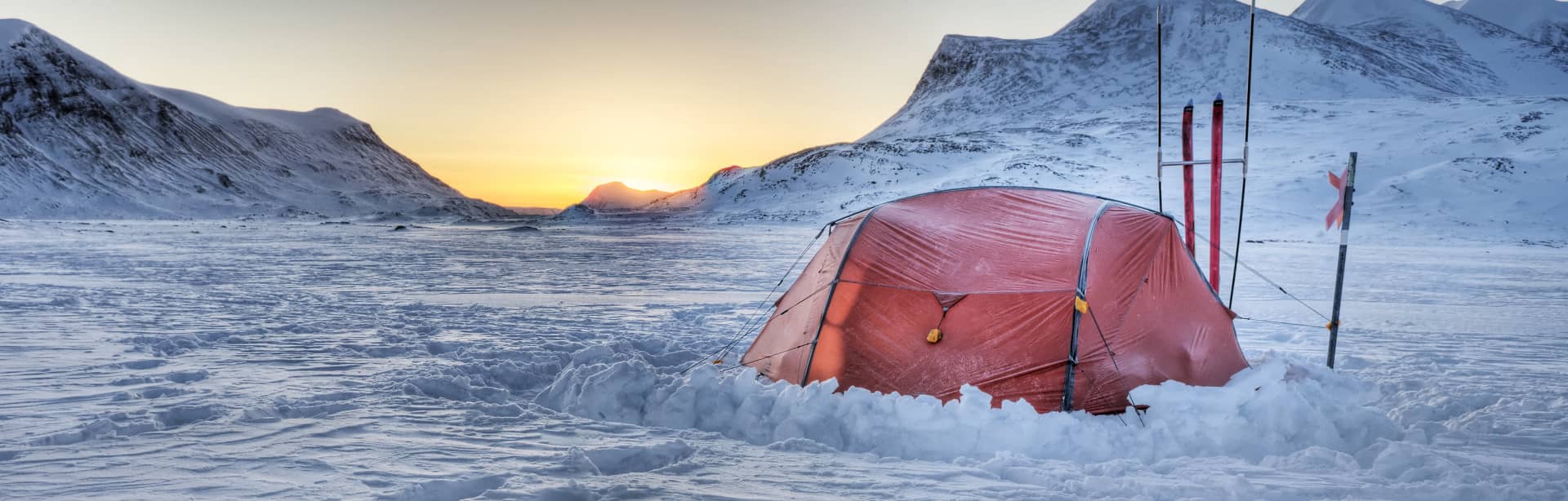
GROUND VALIDATION OF SATELLITE IMAGE INTERPRETATION
WHEN QUIKSCAT MONITORS THE SEA ICE
CRYOSAT FOR MEASURING SEA ICE THICKNESS
Satellites have made it possible to monitor the regression of the ice surface over the last ten years. The Cryosat satellite will allow for the measurement of its thickness, an important factor for monitoring its evolution and its consequences for global warming.

